 a-mar10-00002
← Collection
images
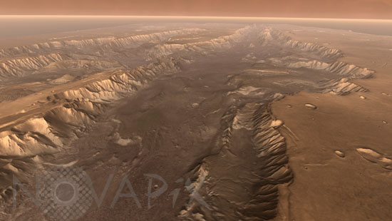
Flying through Valles Marineris
- Reference
- a-mar10-00002
- Date
- 2006-10-20
This scene comes from "Flight Through Mariner Valley," a video made with Mars Odyssey images which takes viewers on a simulated flight into Valles Marineris. To give the mosaic depth and height, moviemakers fitted it to a computerized topographic model for Valles Marineris. This was developed using hundreds of thousands of altitude measurements by the Mars Orbiter Laser Altimeter, an instrument on NASA's Mars Global Surveyor spacecraft.
Contact →