 t-europ-00013
← Collection
images
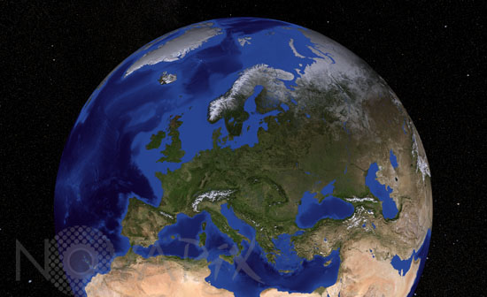
Europe from satellite
- Reference
- t-europ-00013
- Date
- 2008-09-01
Bathymetric and topographic map of Europe obtained with data from MODIS (Moderate Resolution Imaging Spectroradiometer) instrument aboard the Terra satellite. Mosaic of images taken in 2004.
Contact →